
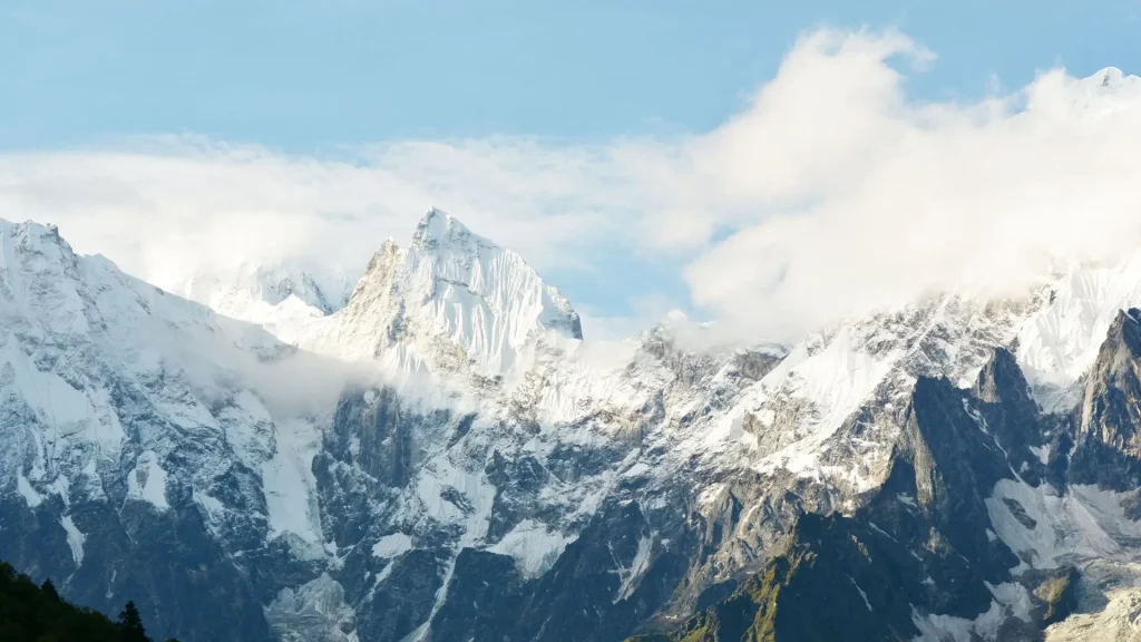
If you’re researching the Manaslu Circuit Trek, you’re probably weighing it against Everest Base Camp or the Annapurna Circuit and trying to figure out whether a restricted, guide-only route is worth the extra planning.
It is, for the right traveler, and this guide explains why. It covers the route, the permits you’ll need, realistic costs, difficulty, the best season to go, and what makes the Nubri and Tsum valleys culturally distinct from Nepal’s more visited trekking regions.
| Quick Answer The Manaslu Circuit Trek is a 14 to 17-day teahouse trek that loops around Mount Manaslu (8,163 m), the world’s eighth-highest peak, crossing the 5,106 m Larkya La (Larke Pass) between the Nubri and Gurung valleys. It covers roughly 150 to 180 km, requires a Restricted Area Permit and a licensed guide, and typically costs USD 1,200 to 2,800 per person depending on group size and season. Most trekkers rate it moderately strenuous to challenging. |
Key Takeaways
- Guide and permit mandatory: Every foreign trekker needs a Restricted Area Permit and a licensed guide, solo or not.
- Solo trekking allowed: Since March 22, 2026, the two-trekker minimum is gone, but a guide is still required.
- Highest point: Larkya La (Larke Pass), 5,106 m, usually crossed in one long day.
- Permit costs: Government permits total between USD 135 and USD 230 per person (comprising the Restricted Area Permit plus MCAP and ACAP conservation permits), in addition to guide, porter, and teahouse costs.
- Best seasons: Autumn (Sept-Nov) and spring (Mar-May) for the clearest views and stable trails.
- Duration: 14-17 days, 150-180 km, with one built-in acclimatization day at Samagaon.
- Difficulty: Moderately strenuous to challenging, mostly due to altitude, not technical terrain.
- Cultural depth: Tibetan Buddhist villages in the Nubri Valley, with an optional Tsum Valley extension.
Table of Contents
What Is the Manaslu Circuit Trek?
The Manaslu Circuit Trek follows the Budhi Gandaki river valley north from the lowlands near Soti Khola into the high Nubri Valley, then crosses the Larkya La before descending into the Gurung villages of the Manang district and finishing near Dharapani, where the route meets the Annapurna Circuit. Along the way, it circles Mount Manaslu, passing beneath its glaciers and base camp approach without requiring any technical climbing.
What sets Manaslu apart from Nepal’s more established circuits is the restricted-area status. Because the trail runs close to the Tibetan border, the Nepal government limits access to protect both the region’s fragile ecology and its traditional Tibetan Buddhist communities. That means fewer trekkers on the trail, less commercial development, and a route that still feels close to how the Annapurna Circuit or Everest region looked decades ago.
The trek sits entirely within the Manaslu Conservation Area, with its final days crossing into the Annapurna Conservation Area. Along the way, it touches villages such as Machha Khola, Jagat, Deng, Namrung, Lho, Samagaon, and Samdo before the push over Larkya La to Bimtang and down to Dharapani or Besisahar.
| Good to Know Manaslu means “Mountain of the Spirit” in Sanskrit, a reference to the mountain’s spiritual significance to the Tibetan Buddhist communities who have lived in its shadow for centuries. |
Manaslu Circuit Trek Route and Major Villages
Most itineraries start driving from Kathmandu or Gorkha to Soti Khola or Machha Khola, then walk north along the Budhi Gandaki gorge before climbing into the high Nubri Valley.
| Stage | Village | Approx. Elevation | Notes |
| 1 | Soti Khola / Machha Khola | 869 m | Trailhead; road access from Kathmandu or Gorkha |
| 2 | Jagat | 1,340 m | First restricted-area permit checkpoint |
| 3 | Deng | 1,860 m | Entry into the culturally Tibetan upper valley |
| 4 | Namrung | 2,630 m | Permit checkpoint; first real mountain views |
| 5 | Lho | 3,180 m | Ribung Gompa monastery and Manaslu viewpoint |
| 6 | Samagaon | 3,520 m | Main acclimatization stop; base for Manaslu Base Camp side trip |
| 7 | Samdo | 3,860 m | Last village before the pass; near the Tibet border |
| 8 | Dharmasala (Larke Phedi) | 4,460 m | Basic lodge; staging point for the Larkya La crossing |
| 9 | Larkya La (Larke Pass) | 5,106 m | Highest point of the trek |
| 10 | Bimtang | 3,590 m | First village after the pass, Manang side |
| 11 | Dharapani | 1,860 m | Trek ends; connects to the Annapurna Circuit road |
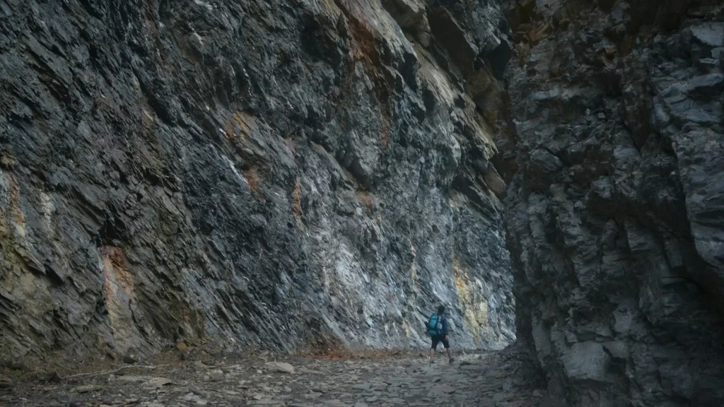
Some itineraries begin the drive from Besisahar or Gorkha instead of Kathmandu directly, and a few operators route the finish through Tal or straight to Besisahar for the drive back. The shape of the trek stays the same regardless: a long, gradual climb up the Budhi Gandaki, a high-altitude loop through Samagaon and Samdo, one demanding pass, and a shorter descent into the Marsyangdi valley.
If you’re exploring more Himalayan adventures, discover our trekking experiences in Nepal to find a route that matches your interests, time, and experience level.
How Long Is the Manaslu Circuit Trek?
The Manaslu Circuit Trek typically takes 14 to 17 days, including arrival and departure days in Kathmandu, with 10 to 13 of those spent walking. The full trekking distance runs approximately 150 to 180 km, depending on the exact start and end points and any side trips.
Daily walking time averages 5 to 7 hours, though the Larkya La crossing day runs longer, often 8 to 9 hours from Dharmasala to Bimtang. Most standard itineraries build in one acclimatization day at Samagaon, sometimes with a side hike to Manaslu Base Camp or the Pungyen Gompa viewpoint. Trekkers with more time often add two or three days for the Tsum Valley extension, which branches off near Lokpa before rejoining the main trail.
Shorter 10 to 12-day versions exist, usually by driving further up the valley to skip the lower approach days, but they leave less room for acclimatization and are generally not recommended for trekkers without prior high-altitude experience.
How Difficult Is the Manaslu Circuit Trek?
The Manaslu Circuit Trek is rated moderately strenuous to challenging, mainly because of the altitude at Larkya La (5,106 m) rather than technical terrain. Trekkers walk 5 to 9 hours a day on well-established but sometimes narrow and exposed trails, with one high pass crossing that demands a pre-dawn start and several hours above 4,500 m.
Three factors drive the difficulty rating:
- Altitude gain. The trek climbs from under 900 m at the trailhead to over 5,100 m at the pass, and altitude sickness is the most common reason trekkers turn back.
- Remoteness. Once past Jagat, teahouses become simpler, medical support is limited, and evacuation from higher villages takes longer than on the Everest or Annapurna trails.
- The Larkya-La crossing day. This is the longest and coldest day of the trek, often starting before sunrise and involving a steep, sometimes icy descent to Bimtang.
That said, no technical climbing skills, ropes, or crampons are required under normal conditions. A trekker in good general fitness who trains beforehand, walks at a sensible pace, and takes the acclimatization day at Samagaon seriously can complete the route without major difficulty. Prior trekking experience at altitude helps, but the Manaslu Circuit is realistically achievable for a fit first-time high-altitude trekker who prepares properly.
| Safety Note Altitude sickness can affect trekkers regardless of fitness level. Know the early symptoms, including headache, nausea, dizziness, and unusual fatigue, and tell your guide immediately if you notice them. Descending is the only reliable treatment if symptoms worsen. |
Larke Pass (Larkya La): The Manaslu Circuit Trek’s Highest Point
Larkya La, also written as Larke Pass or Larke La, is the highest point of the Manaslu Circuit at 5,106 m (16,752 ft), sitting between Dharmasala and Bimtang. It’s one of the longer high-altitude crossings in the Nepal Himalaya, and the crossing day is the physical and emotional centerpiece of the trek for most people.
Trekkers usually leave Dharmasala between 3:00 and 5:00 AM to reach the top before winds pick up in the late morning, then descend a long, rocky, occasionally icy trail to Bimtang on the far side. From the top, clear days reveal views of Himlung Himal, Cheo Himal, Kang Guru, and Manaslu itself, along with the glaciated basin below the pass.
The descent to Bimtang is longer and, for many trekkers, harder on the knees than the ascent. Trekking poles and proper layering matter more here than almost anywhere else on the route, since temperatures at the pass can sit well below freezing even in the otherwise mild autumn season.
Is Manaslu Harder Than Annapurna?
The Manaslu Circuit is generally considered somewhat harder than the standard Annapurna Circuit, mainly because of its higher pass, longer stretches without road access, and simpler teahouse infrastructure.
The Annapurna Circuit’s Thorong La sits at 5,416 m, technically higher than Larkya La, but Annapurna has better-developed trails, more frequent teahouses, and (following recent road construction) shorter walking sections in places, which makes it feel more forgiving overall.
| Factor | Manaslu Circuit | Annapurna Circuit |
| Highest point | Larkya La, 5,106 m | Thorong La, 5,416 m |
| Typical duration | 14-17 days | 12-18 days |
| Distance | ~150-180 km | ~160-230 km |
| Guide requirement | Mandatory | Not mandatory on most sections |
| Teahouse infrastructure | Basic, especially above Samagaon | More developed |
| Trail traffic | Low | Moderate to high in peak season |
| Road access along route | Minimal | Present on parts of the circuit |
In practice, the “harder” trek depends on what you weigh most. Manaslu demands more self-sufficiency and colder, more basic nights near the pass. Annapurna involves a higher single elevation gain at Thorong La but spreads that difficulty across better facilities and more trekking companies on the trail. Trekkers who want solitude and a stronger sense of remoteness tend to find Manaslu the more demanding experience overall, even if the numbers on paper look similar.
Best Time to Trek the Manaslu Circuit
| Season | Months | Conditions |
| Autumn | September-November | Clearest mountain views, stable weather, busiest season on the trail |
| Spring | March-May | Warmer days, rhododendron blooms lower down, good visibility |
| Winter | December-February | Very cold near Larkya La; pass can close after heavy snowfall |
| Monsoon | June-August | Wet, leech-prone lower trail, poor mountain visibility, landslide risk on the Budhi Gandaki gorge |
Autumn and spring account for the large majority of Manaslu trekkers, and for good reason: both seasons combine reasonably stable weather with clear pass conditions. Winter trekking is possible in the lower valley but risky near Larkya La, since heavy snow can make the pass impassable without warning.
Monsoon trekking is generally discouraged on this route because the lower Budhi Gandaki gorge is prone to landslides, and the views disappear behind cloud cover for days at a time.
| Quick Tip If you want autumn’s clear skies without its crowds, aim for late September or early November rather than the peak mid-October window, when the trail and teahouses are busiest. |
Manaslu Circuit Trek Permits and Regulations
Because Manaslu is a restricted area, trekking here involves more paperwork than an open route like Annapurna Base Camp. Three permits are required for the standard circuit, plus a small municipality fee.
| Permit | Who needs it | Approximate cost (foreign nationals) |
| Manaslu Restricted Area Permit (MRAP/RAP) | All trekkers, Jagat-Dharapani section | USD 100 first 7 days + USD 15/day after (Sept-Nov); USD 75 first 7 days + USD 10/day after (Dec-Aug) |
| Manaslu Conservation Area Permit (MCAP) | All trekkers, Manaslu Conservation Area | USD 30 per person |
| Annapurna Conservation Area Permit (ACAP) | All trekkers (route exits through ACA near Dharapani) | USD 30 per person |
| Local/municipality fee | Collected at Jagat | Approximately USD 10 |
For a standard 14-day itinerary in peak autumn season, total permit costs typically land around USD 215 to 270 per person, according to figures reported by several Nepal-based trekking agencies in 2026. Off-season (December-August) trekkers usually pay somewhat less, since the daily RAP rate drops outside the autumn peak.
A few rules are worth understanding before you plan:
- Agency-only processing. The Restricted Area Permit can only be processed by a government-registered trekking agency. You cannot apply for it yourself, even though you can get the MCAP and ACAP independently through the Nepal Tourism Board office in Kathmandu or Pokhara.
- Guide requirement. A licensed guide is mandatory for the restricted-area section of the trek, and this requirement has not changed even as the group-size rule has relaxed.
- Solo trekking allowed since March 2026. As of March 22, 2026, the old two-trekker minimum for restricted-area permits was removed, allowing solo travelers to obtain the MRAP on their own through an agency, provided they still trek with a licensed guide.
- TIMS Card Requirement: A TIMS card is generally not required for the core restricted section between Jagat and Dharapani because the MRAP covers tracking. However, trekkers extending their route further into the Annapurna region outside the restricted boundary should confirm tracking requirements with their licensed agency.
- Non-transferable permits. Permits are non-transferable, non-refundable, and valid for a single entry on the dates listed, so itinerary changes need to go through your agency before you start walking.
The Nepal Tourism Board confirms that restricted-area trekking permits are issued through Nepal’s Department of Immigration and require a group to be organized through a licensed trekking agency.
| Important Because agencies process the Restricted Area Permit on your behalf, book your trek at least a few weeks ahead of autumn departures, when permit processing and guide availability get tight. |
How Much Does the Manaslu Trek Cost?
A Manaslu Circuit Trek typically costs between USD 1,200 and 2,800 per person, covering permits, a licensed guide, accommodation, and meals for the standard 14-day itinerary. The wide range comes down to group size, season, and whether you book a basic teahouse package or a more comfortable, smaller-group arrangement.
| Cost item | Typical range (per person) |
| Permits (MRAP, MCAP, ACAP, local fee) | USD 200-270 |
| Licensed guide (14 days) | USD 25-35/day |
| Porter (optional, 14 days) | USD 20-25/day |
| Teahouse accommodation | USD 5-15/night |
| Meals (3/day) | USD 15-25/day |
| Kathmandu-Soti Khola transport (round trip) | USD 40-100 |
| Total, full package | USD 1,200-2,800 |
Guide and porter costs make up a meaningful share of the total because they’re mandatory, not optional, on this route. Group size matters too: a party of four or five splits fixed costs like transport and guide fees more efficiently than a solo trekker, which is one reason agencies often price solo departures noticeably higher per person.
| Budget Tip Joining an existing small group departure, rather than booking a private trek, is usually the single biggest way to lower your per-person cost on a restricted route like Manaslu. |
Tsum Valley and the Culture of the Manaslu Region
The Nubri Valley, which the Manaslu Circuit passes through between Jagat and Samdo, is home to communities with strong Tibetan Buddhist roots, visible in the chortens, mani walls, and prayer flags that line the trail from Deng onward. Villages like Lho and Samagaon center around active monasteries, and many locals still speak a Tibetan-related dialect alongside Nepali.
The lower stretches of the trek, particularly around Machha Khola and Jagat, sit closer to Gurung and mixed hill-community culture, giving the trek a gradual cultural transition rather than an abrupt one as you move north and gain altitude.
Tsum Valley, a side valley reached via a branch trail near Lokpa, is often described as one of the most culturally intact regions in Nepal. It requires its own restricted-area permit and typically adds three to five days to the standard circuit, but it rewards that time with well-preserved gompas, chorten-lined trails, and villages that see a fraction of Manaslu’s already modest trekker numbers.
| Local Insight Many monasteries and chortens along the route are still active religious sites, not attractions. Walk clockwise around mani walls and chortens, following local custom, and ask your guide before entering a gompa. |
Accommodation and Food on the Trail
The Manaslu Circuit is a teahouse trek, meaning you sleep in simple, family-run lodges rather than camping, though rooms above Samagaon and at Dharmasala are noticeably more basic than the lower valley. Expect twin rooms with shared bathrooms, limited hot water (often bucket showers, sometimes for an extra fee), and no heating beyond a communal dining room stove in the evening.
Menus are similar across most teahouses: dal bhat (lentils, rice, and vegetables), noodle and soup dishes, momos, porridge, and basic pasta. Dal bhat is worth understanding specifically, since most lodges offer free refills, and it’s the most reliable source of sustained energy on long trekking days. Meat and fresh vegetables become scarcer and pricier the further north you go, since almost everything above Samagaon has to be carried in.
Electricity for charging devices is usually available for a small fee via solar power, and Wi-Fi, where it exists, is slow and unreliable above the mid-valley villages.
Preparation, Fitness, and Packing for the Manaslu Circuit Trek
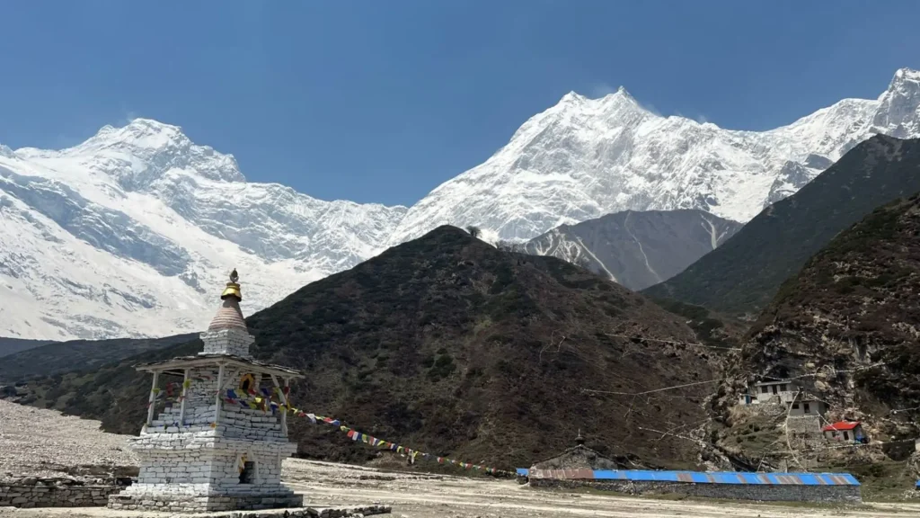
Training for the Manaslu Circuit should focus on cardiovascular endurance and leg strength, ideally starting two to three months before departure. Regular hiking with a loaded daypack, stair climbing, and longer walks on consecutive days will do more for you than gym-only training, since the trek’s real demand is hours of sustained walking at altitude rather than short bursts of exertion.
A solid packing list for Manaslu includes:
- Layered clothing system: moisture-wicking base layers, an insulating mid-layer, and a waterproof, windproof outer shell
- A four-season sleeping bag rated to at least -15°C for nights at Dharmasala and Samdo
- Broken-in, well-fitted trekking boots with ankle support
- Trekking poles, particularly useful on the Larkya La descent to Bimtang
- A basic personal first-aid kit, including altitude medication discussed with a doctor beforehand
- A headlamp for the pre-dawn Larkya La crossing
- Sun protection: high-SPF sunscreen, sunglasses rated for high-altitude UV exposure, and a sun hat
| Before You GoBuy travel insurance that specifically covers trekking at altitudes above 5,000 m and includes helicopter evacuation. Standard travel insurance policies often exclude this, and it matters most on exactly the kind of remote, high-pass trek Manaslu is. |
Safety, Altitude, and Responsible Trekking
Acute mountain sickness (AMS) is the primary safety concern on the Manaslu Circuit, given the climb from under 900 m to over 5,100 m over roughly a week and a half. The built-in acclimatization day at Samagaon (3,520 m) exists for a reason, and skipping it to save a day is one of the more common mistakes trekkers make on this route.
Basic altitude precautions apply here as they do on any high Himalayan trek: ascend gradually, drink enough water, avoid alcohol at altitude, and treat headache or nausea as a signal to stop and reassess rather than push through. A licensed guide, which is mandatory on this route anyway, should be monitoring the group for AMS symptoms and can make the call to descend if needed.
No guide or itinerary can guarantee safety at altitude, so trekkers should take symptoms seriously and communicate them early rather than waiting for them to worsen.
| Responsible Travel Carry out what you carry in, especially above Samagaon, where waste disposal infrastructure is minimal. Refilling a water bottle with treated or filtered water, rather than buying bottled water at each lodge, meaningfully reduces plastic waste in a region without recycling facilities. |
Because the Manaslu Conservation Area and Annapurna Conservation Area both rely partly on permit revenue for trail maintenance and community projects, staying on marked trails, using licensed guides and porters, and choosing locally run teahouses over camping treks all help keep tourism income inside the communities the trek passes through.
Common Mistakes to Avoid During Manaslu Circuit Treks
- Skipping the Samagaon acclimatization day. It exists specifically to reduce AMS risk before the push toward Larkya La.
- Underestimating the cold at Dharmasala and the pass. Even in a mild autumn, pre-dawn temperatures near Larkya La regularly drop well below freezing.
- Booking too late in peak season. Because permits and guides must be arranged in advance, last-minute autumn bookings can mean higher prices or limited departure dates.
- Assuming TIMS applies here. The Manaslu Circuit uses the restricted-area permit system instead, and outdated blog posts sometimes cause confusion at the planning stage.
- Treating the guide requirement as optional. It’s enforced at permit checkpoints along the route, not just a booking formality.
Alternatives to the Manaslu Circuit
Trekkers weighing Manaslu against other options in Nepal generally compare it to the Annapurna Circuit, for a similarly shaped high-pass trek with better infrastructure and no guide requirement, or the Langtang Valley trek, for a shorter, more accessible route from Kathmandu with its own strong Tibetan Buddhist cultural character.
Trekkers specifically drawn to Manaslu’s remoteness and low trail traffic, but wanting an even deeper cultural detour, often extend into Tsum Valley rather than choosing a different trek altogether.
Final Thoughts
The Manaslu Circuit Trek rewards trekkers willing to handle a bit more planning, a mandatory guide, and a genuinely remote stretch of trail with one of Nepal’s quieter high-altitude routes.
Between the Nubri Valley’s Tibetan Buddhist villages, the long climb to Larkya La, and the option to detour into Tsum Valley, it offers a version of Himalayan trekking that feels closer to how Annapurna and Everest once did.
Planning your next adventure in Nepal? Visit Wander Himalayan for more trekking inspiration, travel information, and Himalayan experiences.
Frequently Asked Questions
1. How difficult is the Manaslu Circuit Trek?
The Manaslu Circuit Trek is rated moderately strenuous to challenging, mainly due to the altitude at Larkya La (5,106 m) and the remoteness of the route rather than technical climbing difficulty. Fit trekkers who train beforehand and take the Samagaon acclimatization day seriously generally complete it without major issues.
2. How long is the Manaslu Circuit Trek?
The Manaslu Circuit Trek typically takes 14 to 17 days, including travel days in Kathmandu, covering roughly 150 to 180 km with 10 to 13 trekking days. Adding the Tsum Valley extension adds another three to five days.
3. How much does the Manaslu Trek cost?
The Manaslu Trek typically costs USD 1,200 to 2,800 per person for a standard 14-day package, including permits, a mandatory licensed guide, teahouse accommodation, and meals. Group size and season both affect the final price.
4. Is Manaslu harder than Annapurna?
Manaslu is generally considered somewhat harder than the standard Annapurna Circuit due to its more basic infrastructure, mandatory guide requirement, and greater remoteness, even though Annapurna’s Thorong La pass sits higher at 5,416 m versus Larkya La’s 5,106 m.
5. Do I need a guide for the Manaslu Circuit Trek?
Yes. A government-licensed guide is legally required for every foreign trekker on the restricted-area section of the Manaslu Circuit, and this is checked at permit posts along the route.
6. Can I trek the Manaslu Circuit solo?
As of March 22, 2026, solo trekkers can obtain the Restricted Area Permit individually, since Nepal’s Department of Immigration removed the previous two-trekker minimum. A licensed guide from a registered agency is still mandatory.
7. Do I need a TIMS card for the Manaslu Circuit?
No. The Manaslu Circuit uses the Restricted Area Permit system instead of TIMS, and the MRAP, MCAP, and ACAP together cover the route’s permit requirements.
8. What is the highest point of the Manaslu Circuit Trek?
The highest point is Larkya La (Larke Pass) at 5,106 m, located between Dharmasala and Bimtang, typically crossed in one long day.
9. When is the best time to trek the Manaslu Circuit?
Autumn (September-November) and spring (March-May) are the best seasons, offering the clearest mountain views and the most stable trail and pass conditions.
10. Can beginners trek the Manaslu Circuit?
A fit first-time high-altitude trekker can complete the Manaslu Circuit with proper preparation, though some prior trekking experience is helpful given the route’s remoteness and limited medical support compared to more developed trails like Everest Base Camp.
11. What permits do I need for the Manaslu Circuit Trek?
You need the Manaslu Restricted Area Permit (MRAP), the Manaslu Conservation Area Permit (MCAP), and the Annapurna Conservation Area Permit (ACAP), plus a small local fee collected at Jagat.
12. Is the Manaslu Circuit Trek worth it?
For trekkers who want a high Himalayan pass, strong Tibetan Buddhist cultural exposure, and a noticeably quieter trail than Everest or Annapurna, the Manaslu Circuit is generally considered well worth the extra permit cost and planning it requires.
sources
• Nepal Tourism Board: Trekking Permit
• Larkya La elevation: Wikipedia